
Umbrete topographic map
Interactive map
Click on the map to display elevation.
About this map
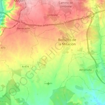
Name: Umbrete topographic map, elevation, terrain.
Location: Umbrete, Séville, Andalousie, 41806, Espagne (37.27225 -6.21069 37.38437 -6.15139)
Average elevation: 76 m
Minimum elevation: 5 m
Maximum elevation: 153 m