
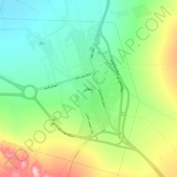
ماهان topographic map
Interactive map
Click on the map to display elevation.
About this map
Name: ماهان topographic map, elevation, terrain.
Location: ماهان, شهر ماهان, بخش ماهان, شهرستان کرمان, Kerman, Iran (30.01364 57.24830 30.09364 57.32830)
Average elevation: 1,936 m
Minimum elevation: 1,834 m
Maximum elevation: 2,137 m