
Koudhoorn topographic map
Interactive map
Click on the map to display elevation.
About this map
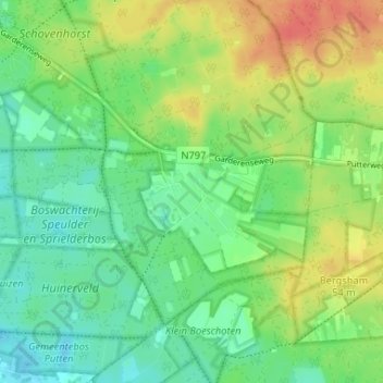
Name: Koudhoorn topographic map, elevation, terrain.
Location: Koudhoorn, Gelderland, Nederland, 3881, Nederland (52.21318 5.64246 52.25318 5.68246)
Average elevation: 34 m
Minimum elevation: 15 m
Maximum elevation: 61 m