
Khan Cheikhoun topographic map
Interactive map
Click on the map to display elevation.
About this map
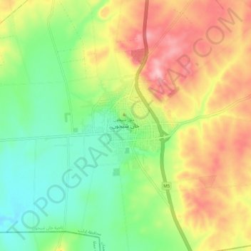
Name: Khan Cheikhoun topographic map, elevation, terrain.
Location: Khan Cheikhoun, Gouvernorat d'Idleb, Syrie (35.40007 36.60711 35.48007 36.68711)
Average elevation: 385 m
Minimum elevation: 311 m
Maximum elevation: 480 m