
Weatherstone topographic map
Interactive map
Click on the map to display elevation.
About this map
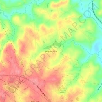
Name: Weatherstone topographic map, elevation, terrain.
Location: Weatherstone, Rutherford County, North Carolina, 28160, USA (35.34151 -81.90010 35.38151 -81.86010)
Average elevation: 289 m
Minimum elevation: 240 m
Maximum elevation: 326 m