
Cárdenas topographic map
Interactive map
Click on the map to display elevation.
About this map
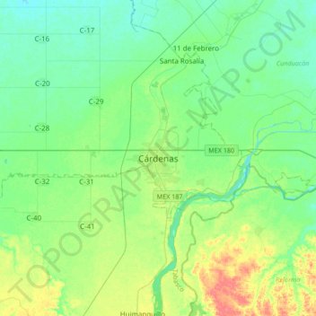
Name: Cárdenas topographic map, elevation, terrain.
Location: Cárdenas, Tabasco, 86500, México (17.83088 -93.53533 18.15088 -93.21533)
Average elevation: 20 m
Minimum elevation: 6 m
Maximum elevation: 53 m