
Les Tannières des Tremblan topographic map
Interactive map
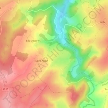
Click on the map to display elevation.
About this map
Name: Les Tannières des Tremblan topographic map, elevation, terrain.
Average elevation: 368 m
Minimum elevation: 295 m
Maximum elevation: 415 m