
Ampary topographic map
Interactive map
Click on the map to display elevation.
About this map
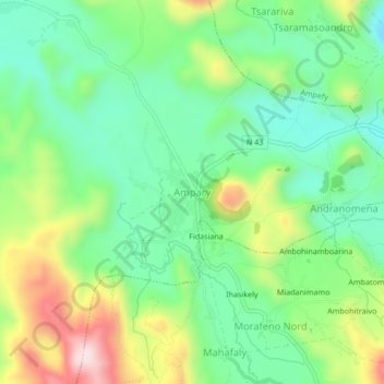
Name: Ampary topographic map, elevation, terrain.
Location: Ampary, Itasy, Province d’Antananarivo, Madagascar (-19.11553 46.69122 -19.07553 46.73122)
Average elevation: 1,387 m
Minimum elevation: 1,254 m
Maximum elevation: 1,634 m