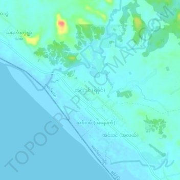
အင်းဒင် (ရခိုင်) topographic map
Interactive map
Click on the map to display elevation.
About this map
Name: အင်းဒင် (ရခိုင်) topographic map, elevation, terrain.
Average elevation: 7 m
Minimum elevation: -1 m
Maximum elevation: 56 m

Click on the map to display elevation.
Name: အင်းဒင် (ရခိုင်) topographic map, elevation, terrain.
Average elevation: 7 m
Minimum elevation: -1 m
Maximum elevation: 56 m