
Muttonville topographic map
Interactive map
Click on the map to display elevation.
About this map
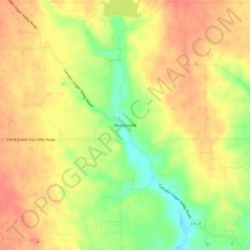
Name: Muttonville topographic map, elevation, terrain.
Location: Muttonville, Preble County, Ohio, 45311, USA (39.63787 -84.70567 39.67787 -84.66567)
Average elevation: 316 m
Minimum elevation: 282 m
Maximum elevation: 336 m