
神山 topographic map
Interactive map
Click on the map to display elevation.
About this map
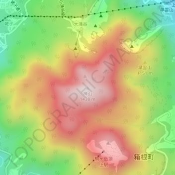
Name: 神山 topographic map, elevation, terrain.
Location: 神山, Hakone, 足柄下郡, Präfektur Kanagawa, Kantō, 250-0408, Japan (35.23343 139.02092 35.23353 139.02102)
Average elevation: 1,079 m
Minimum elevation: 720 m
Maximum elevation: 1,412 m