
Yusufeli topographic map
Interactive map
Click on the map to display elevation.
About this map
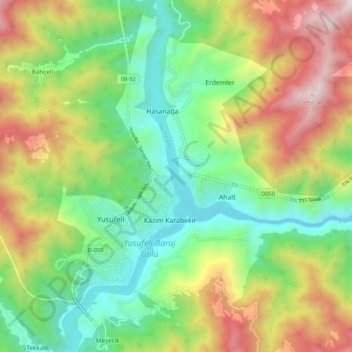
Name: Yusufeli topographic map, elevation, terrain.
Location: Yusufeli, Artvin, Région de la mer Noire, Turquie (40.78035 41.50408 40.86035 41.58408)
Average elevation: 1,101 m
Minimum elevation: 551 m
Maximum elevation: 1,981 m