
Paňa topographic map
Interactive map
Click on the map to display elevation.
About this map
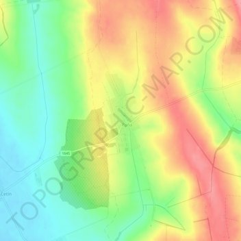
Name: Paňa topographic map, elevation, terrain.
Location: Paňa, Region of Nitra, Western Slovakia, 951 05, Slovakia (48.21107 18.20713 48.25107 18.24713)
Average elevation: 179 m
Minimum elevation: 133 m
Maximum elevation: 227 m