
La Barges topographic map
Interactive map
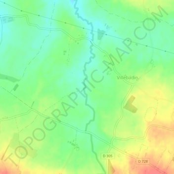
Click on the map to display elevation.
About this map
Name: La Barges topographic map, elevation, terrain.
Average elevation: 137 m
Minimum elevation: 113 m
Maximum elevation: 169 m
Other topographic maps
Click on a map to view its topography, its elevation and its terrain.
Villebadin
France > Normandie > Gouffern en Auge
Villebadin, Gouffern en Auge, Argentan, Orne, Normandie, France métropolitaine, 61310, France
Average elevation: 161 m