
https://www.regierung.oberfranken.bayern.de/nsg/5-35/5-35-02-Verordnung.pdf topographic map
Interactive map
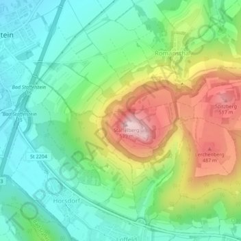
Click on the map to display elevation.
About this map
Name: https://www.regierung.oberfranken.bayern.de/nsg/5-35/5-35-02-Verordnung.pdf topographic map, elevation, terrain.
Average elevation: 360 m
Minimum elevation: 264 m
Maximum elevation: 532 m