
Thank you for supporting this site ❤️
Make a donation
Make a donation
Grand River topographic map
Click on the map to display elevation.
Thank you for supporting this site ❤️
Make a donation
Make a donation
About this map
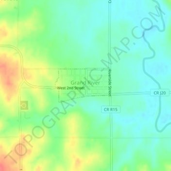
Name: Grand River topographic map, elevation, terrain.
Location: Grand River, Decatur County, Iowa, United States (40.81612 -93.96887 40.82142 -93.95739)
Average elevation: 313 m
Minimum elevation: 292 m
Maximum elevation: 351 m
Thank you for supporting this site ❤️
Make a donation
Make a donation