
Jebel al Benat topographic map
Interactive map
Click on the map to display elevation.
About this map
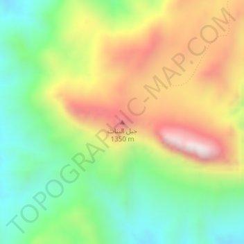
Name: Jebel al Benat topographic map, elevation, terrain.
Location: Jebel al Benat, South Sinai, Egypt (28.75893 33.62096 28.75903 33.62106)
Average elevation: 1,077 m
Minimum elevation: 755 m
Maximum elevation: 1,508 m
Other topographic maps
Click on a map to view its topography, its elevation and its terrain.
Beach of Tropitel Naama Bay + Noria Resort +Amerotel Royal Oasis Resort
Egypt > South Sinai > Sharm El Sheikh
Beach of Tropitel Naama Bay + Noria Resort +Amerotel Royal Oasis Resort, Neema Bay, Naama Bay, Sharm El Sheikh, Ras Umm Sid, South Sinai, Egypt
Average elevation: 19 m
El Tor, Egypt
Egypt > South Sinai > Al Tor
El Tor, Egypt, Al Gabel Street, Al Gabel Village, Al Tor, South Sinai, 46511, Egypt
Average elevation: 8 m
Sharm El Sheikh
Sharm El Sheikh, Ras Umm Sid, South Sinai, 46619, Egypt
Average elevation: 135 m
Egupt fjord
Egypt > South Sinai > Taba > Taba Heights
Egupt fjord, Newibaa, Taba Road, Taba City, Taba Heights, Taba, South Sinai, 46621, Egypt
Average elevation: 69 m