
Gosselies topographic map
Interactive map
Click on the map to display elevation.
About this map
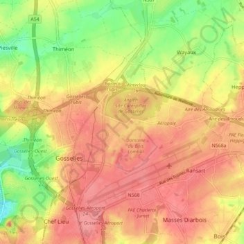
Name: Gosselies topographic map, elevation, terrain.
Location: Gosselies, Charleroi, Hainaut, Wallonia, 6041, Belgium (50.45469 4.39730 50.49243 4.48489)
Average elevation: 151 m
Minimum elevation: 104 m
Maximum elevation: 189 m
Other topographic maps
Click on a map to view its topography, its elevation and its terrain.