
Hérinnes topographic map
Interactive map
Click on the map to display elevation.
About this map
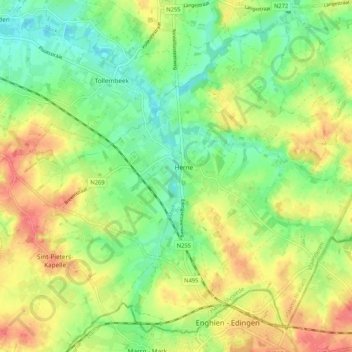
Name: Hérinnes topographic map, elevation, terrain.
Location: Hérinnes, Hal-Vilvorde, Brabant flamand, Belgique (50.69439 3.97509 50.75200 4.07960)
Average elevation: 48 m
Minimum elevation: 21 m
Maximum elevation: 81 m