
Siebenlehn topographic map
Interactive map
Click on the map to display elevation.
About this map
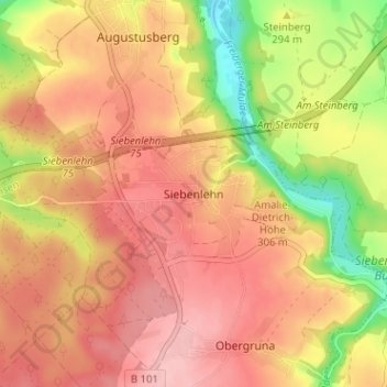
Name: Siebenlehn topographic map, elevation, terrain.
Average elevation: 305 m
Minimum elevation: 221 m
Maximum elevation: 356 m
Other topographic maps
Click on a map to view its topography, its elevation and its terrain.
Teichhäuser
Deutschland > Sachsen > Mittelsachsen > Großschirma > Hohentanne
Teichhäuser, Hohentanne, Großschirma, Mittelsachsen, Sachsen, 09603, Deutschland
Average elevation: 332 m