
Guntakal topographic map
Interactive map
Click on the map to display elevation.
About this map
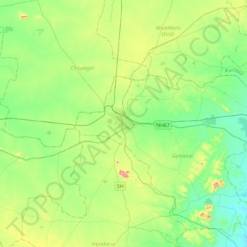
Name: Guntakal topographic map, elevation, terrain.
Location: Guntakal, Anantapur, Andhra Pradesh, 515800, India (15.00110 77.21689 15.32110 77.53689)
Average elevation: 441 m
Minimum elevation: 340 m
Maximum elevation: 705 m