
Bandasi topographic map
Interactive map
Click on the map to display elevation.
About this map
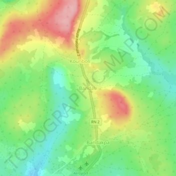
Name: Bandasi topographic map, elevation, terrain.
Location: Bandasi, Haut-Mbomou, Central African Republic (5.03581 25.13109 5.07581 25.17109)
Average elevation: 616 m
Minimum elevation: 558 m
Maximum elevation: 695 m