
Thank you for supporting this site ❤️
Make a donation
Make a donation
Norton topographic map
Click on the map to display elevation.
Thank you for supporting this site ❤️
Make a donation
Make a donation
About this map
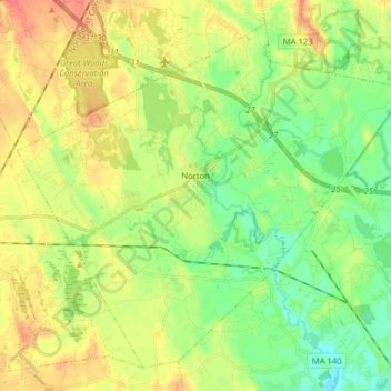
Name: Norton topographic map, elevation, terrain.
Location: Norton, Bristol County, Massachusetts, 02766, United States (41.90885 -71.25931 42.01261 -71.10085)
Average elevation: 30 m
Minimum elevation: 8 m
Maximum elevation: 56 m
Thank you for supporting this site ❤️
Make a donation
Make a donation