
Thank you for supporting this site ❤️
Make a donation
Make a donation
Kalbog topographic map
Click on the map to display elevation.
Thank you for supporting this site ❤️
Make a donation
Make a donation
About this map
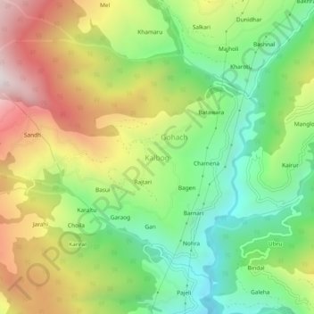
Name: Kalbog topographic map, elevation, terrain.
Location: Kalbog, Kotkhai, Shimla, Himachal Pradesh, India (31.18346 77.49932 31.22346 77.53932)
Average elevation: 2,310 m
Minimum elevation: 1,820 m
Maximum elevation: 2,980 m
Thank you for supporting this site ❤️
Make a donation
Make a donation