
Thank you for supporting this site ❤️
Make a donation
Make a donation
Prestonpans topographic map
Click on the map to display elevation.
Thank you for supporting this site ❤️
Make a donation
Make a donation
About this map
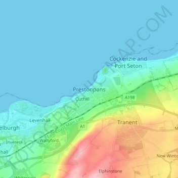
Name: Prestonpans topographic map, elevation, terrain.
Location: Prestonpans, East Lothian, Scotland, EH32 9AB, United Kingdom (55.91939 -3.02424 55.99939 -2.94424)
Average elevation: 31 m
Minimum elevation: 0 m
Maximum elevation: 151 m
Thank you for supporting this site ❤️
Make a donation
Make a donation