
Lac Cormier topographic map
Interactive map
Click on the map to display elevation.
About this map
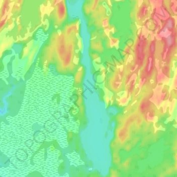
Name: Lac Cormier topographic map, elevation, terrain.
Average elevation: 115 m
Minimum elevation: 76 m
Maximum elevation: 175 m
Other topographic maps
Click on a map to view its topography, its elevation and its terrain.
Lac des Sables
Canada > Québec > Minganie > Havre-Saint-Pierre > Havre-St-Pierre
Lac des Sables, Havre-St-Pierre, Havre-Saint-Pierre, Minganie, Côte-Nord, Québec, Canada
Average elevation: 12 m