
Auburn topographic map
Interactive map
Click on the map to display elevation.
About this map
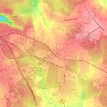
Name: Auburn topographic map, elevation, terrain.
Location: Auburn, Wake County, North Carolina, United States (35.67321 -78.57528 35.71321 -78.53528)
Average elevation: 98 m
Minimum elevation: 18 m
Maximum elevation: 125 m