
Saint Andrews topographic map
Interactive map
Click on the map to display elevation.
About this map
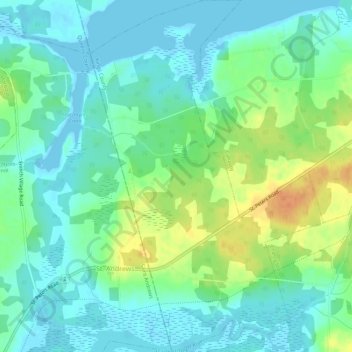
Name: Saint Andrews topographic map, elevation, terrain.
Location: Saint Andrews, Kings County, Île-du-Prince-Édouard, Canada (46.37419 -62.85711 46.41294 -62.81987)
Average elevation: 12 m
Minimum elevation: -2 m
Maximum elevation: 38 m