
Thank you for supporting this site ❤️
Make a donation
Make a donation
Manipur River topographic map
Click on the map to display elevation.
Thank you for supporting this site ❤️
Make a donation
Make a donation
About this map
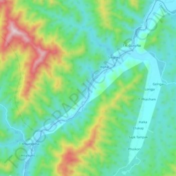
Name: Manipur River topographic map, elevation, terrain.
Location: Manipur River, Chakpikarong, Chandel, Manipur, India (24.11675 93.77098 24.21413 93.85103)
Average elevation: 964 m
Minimum elevation: 741 m
Maximum elevation: 1,595 m
Thank you for supporting this site ❤️
Make a donation
Make a donation