
Lexington topographic map
Interactive map
Click on the map to display elevation.
About this map
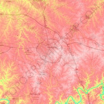
Name: Lexington topographic map, elevation, terrain.
Average elevation: 281 m
Minimum elevation: 161 m
Maximum elevation: 326 m
Weitere höhere Bildungseinrichtungen in der Region sind Asbury College, Asbury Theological Seminary, Berea College, Centre College, Eastern Kentucky University, Georgetown College, Bluegrass Community and Technical College, Lexington Theological Seminary, National College of Business and Technology, Midway College, Sullivan College.