
Begaliyawas topographic map
Interactive map
Click on the map to display elevation.
About this map
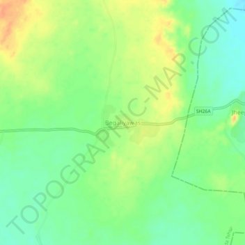
Name: Begaliyawas topographic map, elevation, terrain.
Location: Begaliyawas, Masuda Tehsil, Ajmer, Rajasthan, India (26.07005 74.56721 26.11005 74.60721)
Average elevation: 448 m
Minimum elevation: 431 m
Maximum elevation: 468 m