
河柳 topographic map
Interactive map
Click on the map to display elevation.
About this map
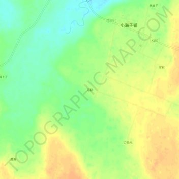
Name: 河柳 topographic map, elevation, terrain.
Location: 河柳, 小海子镇, 商都县, 乌兰察布市, 内蒙古自治区, 中国 (41.43871 113.67136 41.47871 113.71136)
Average elevation: 1,336 m
Minimum elevation: 1,319 m
Maximum elevation: 1,350 m