
Wangoi topographic map
Click on the map to display elevation.
About this map
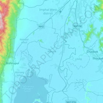
Name: Wangoi topographic map, elevation, terrain.
Location: Wangoi, Imphal West, Manipur, India (24.52569 93.79955 24.78572 93.94126)
Average elevation: 825 m
Minimum elevation: 765 m
Maximum elevation: 1,996 m