
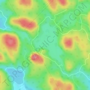
Lac des Îles topographic map
Interactive map
Click on the map to display elevation.
About this map
Name: Lac des Îles topographic map, elevation, terrain.
Average elevation: 216 m
Minimum elevation: 177 m
Maximum elevation: 269 m
Other topographic maps
Click on a map to view its topography, its elevation and its terrain.
Lac Morel
Canada > Québec > Maskinongé (MRC) > Saint-Boniface
Lac Morel, Saint-Boniface, Maskinongé (MRC), Mauricie, Québec, Canada
Average elevation: 237 m