
Soure topographic map
Interactive map
Click on the map to display elevation.
About this map
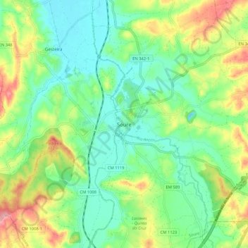
Name: Soure topographic map, elevation, terrain.
Location: Soure, Coimbra, 3130-217, Portugal (40.01950 -8.66639 40.09950 -8.58639)
Average elevation: 45 m
Minimum elevation: 1 m
Maximum elevation: 127 m