
Port Lavaca topographic map
Interactive map
Click on the map to display elevation.
About this map
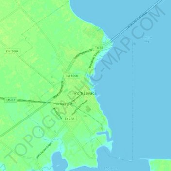
Name: Port Lavaca topographic map, elevation, terrain.
Location: Port Lavaca, Calhoun County, Texas, États-Unis d'Amérique (28.57754 -96.66239 28.65958 -96.60012)
Average elevation: 4 m
Minimum elevation: -1 m
Maximum elevation: 11 m