
Sloten topographic map
Interactive map
Click on the map to display elevation.
About this map
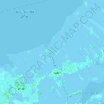
Name: Sloten topographic map, elevation, terrain.
Location: Sloten, De Fryske Marren, Friesland, Netherlands (52.88314 5.62075 52.92247 5.66389)
Average elevation: -1 m
Minimum elevation: -7 m
Maximum elevation: 4 m