
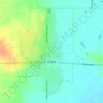
Clark topographic map
Interactive map
Click on the map to display elevation.
About this map
Name: Clark topographic map, elevation, terrain.
Location: Clark, Clark County, South Dakota, United States (44.86904 -97.75040 44.89185 -97.72332)
Average elevation: 553 m
Minimum elevation: 540 m
Maximum elevation: 579 m
Other topographic maps
Click on a map to view its topography, its elevation and its terrain.
Naples
United States > South Dakota > Clark County > Naples
Naples, Clark County, South Dakota, United States
Average elevation: 545 m