
Make a donation
Castelo de Almourol topographic map
Click on the map to display elevation.
Make a donation
Castelo de Almourol
The castle has an irregular rectangular plan consisting of two enclosures: an exterior lower level faces upstream with a traitors' gate and walls reinforced by nine tall circular towers; while the interior enclosure, located at a higher elevation, has walls accessible by the main gate to the main keep. The keep is three stories tall, and includes the original pads that supported the main truss. The remaining sentry towers are irregular, owing to the irregular terrain. The keep is actually an innovation at this castle, appearing in the 12th century after the Castle of Tomar, the principal defensive redoubt of the Templars in Portugal. Similarly, the watchtowers were innovations brought into the western Iberian peninsula by the Templars, and applied in Almourol.
Make a donation
About this map
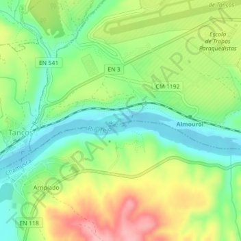
Name: Castelo de Almourol topographic map, elevation, terrain.
Average elevation: 63 m
Minimum elevation: 10 m
Maximum elevation: 140 m
Make a donation