
Katupotha topographic map
Interactive map
Click on the map to display elevation.
About this map
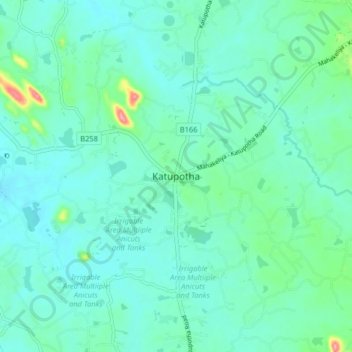
Name: Katupotha topographic map, elevation, terrain.
Average elevation: 65 m
Minimum elevation: 44 m
Maximum elevation: 167 m
Other topographic maps
Click on a map to view its topography, its elevation and its terrain.
Feeder Canal to Bathalagoda Lake from Daduru Oya Anicut
Sri Lanka > North Western Province > Kurunegala
Average elevation: 127 m