
Limuru East ward topographic map
Interactive map
Click on the map to display elevation.
About this map
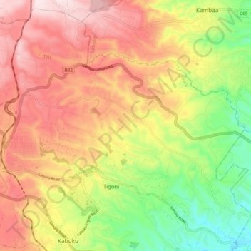
Name: Limuru East ward topographic map, elevation, terrain.
Location: Limuru East ward, Limuru, Kiambu, Central Kenya, Kenya (-1.15138 36.64246 -1.06181 36.73820)
Average elevation: 2,170 m
Minimum elevation: 1,921 m
Maximum elevation: 2,396 m
Other topographic maps
Click on a map to view its topography, its elevation and its terrain.