
Avin topographic map
Interactive map
Click on the map to display elevation.
About this map
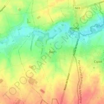
Name: Avin topographic map, elevation, terrain.
Location: Avin, Hannut, Waremme, Lüttich, Wallonien, 4280, Belgien (50.60086 5.04767 50.64086 5.08767)
Average elevation: 145 m
Minimum elevation: 118 m
Maximum elevation: 173 m