
Caldwell County topographic map
Interactive map
Click on the map to display elevation.
About this map
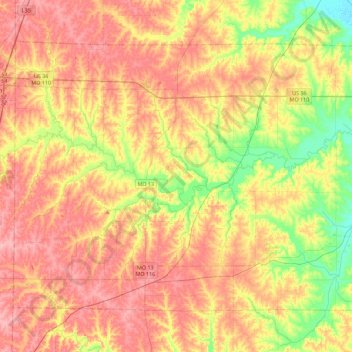
Name: Caldwell County topographic map, elevation, terrain.
Location: Caldwell County, Missouri, USA (39.52394 -94.21249 39.78817 -93.76187)
Average elevation: 276 m
Minimum elevation: 217 m
Maximum elevation: 324 m
Other topographic maps
Click on a map to view its topography, its elevation and its terrain.
Grain Valley
USA > Missouri > Grain Valley
Grain Valley, Jackson County, Missouri, 64029, USA
Average elevation: 258 m