
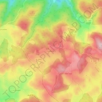
Le Banès topographic map
Interactive map
Click on the map to display elevation.
About this map
Name: Le Banès topographic map, elevation, terrain.
Average elevation: 831 m
Minimum elevation: 687 m
Maximum elevation: 926 m
Other topographic maps
Click on a map to view its topography, its elevation and its terrain.
Le Soulié Bas
France > Occitanie > Hérault > Le Soulié
Le Soulié Bas, Le Soulié, Béziers, Hérault, Occitanie, France métropolitaine, 34330, France
Average elevation: 894 m