
Anzère topographic map
Interactive map
Click on the map to display elevation.
About this map
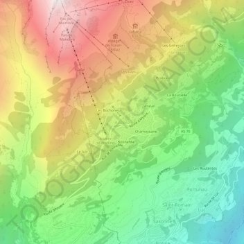
Name: Anzère topographic map, elevation, terrain.
Location: Anzère, Ayent, Ering, Wallis, 1972, Schweiz (46.27694 7.37792 46.31694 7.41792)
Average elevation: 1,505 m
Minimum elevation: 692 m
Maximum elevation: 2,505 m
Anzère ist ein in den 1960er Jahren erbautes Feriendorf auf dem Gebiet der Gemeinde Ayent, im Kanton Wallis in der Schweiz. Anzère liegt auf einem Sonnenplateau auf 1500 Meter Höhe in der Nähe von Sion und Crans-Montana.