
Cerro Prieto topographic map
Interactive map
Click on the map to display elevation.
About this map
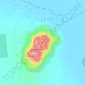
Name: Cerro Prieto topographic map, elevation, terrain.
Location: Cerro Prieto, Mexicali, Baja California, 21000, México (32.41938 -115.30612 32.41948 -115.30602)
Average elevation: 38 m
Minimum elevation: 8 m
Maximum elevation: 218 m