
Præstehuse topographic map
Interactive map
Click on the map to display elevation.
About this map
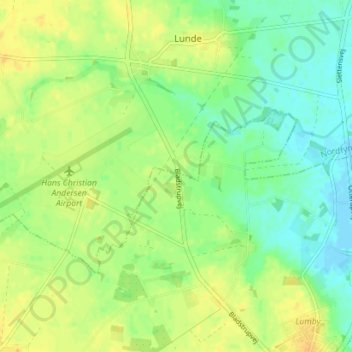
Name: Præstehuse topographic map, elevation, terrain.
Location: Præstehuse, Odense Kommune, Danemark-du-Sud, 5270, Danemark (55.45451 10.32953 55.49451 10.36953)
Average elevation: 13 m
Minimum elevation: -2 m
Maximum elevation: 25 m