
Тамаша topographic map
Interactive map
Click on the map to display elevation.
About this map
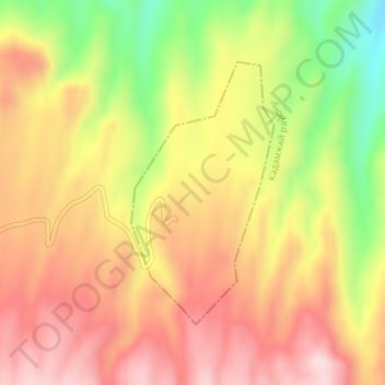
Name: Тамаша topographic map, elevation, terrain.
Location: Тамаша, Batken Region, Kyrgyzstan (40.05702 71.91376 40.07544 71.92685)
Average elevation: 1,781 m
Minimum elevation: 1,588 m
Maximum elevation: 1,919 m