
Lakhandur Town topographic map
Interactive map
Click on the map to display elevation.
About this map
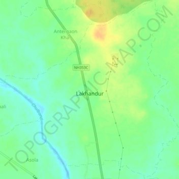
Name: Lakhandur Town topographic map, elevation, terrain.
Location: Lakhandur Town, Lakhandur Taluka, Bhandara, Maharashtra, India (20.73606 79.86373 20.77543 79.90517)
Average elevation: 227 m
Minimum elevation: 215 m
Maximum elevation: 243 m