
Washington County topographic map
Interactive map
Click on the map to display elevation.
About this map
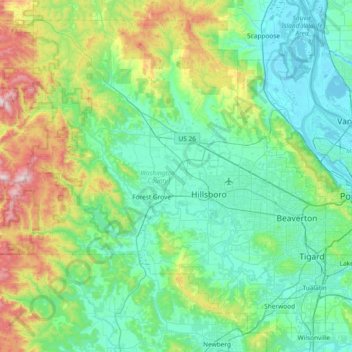
Name: Washington County topographic map, elevation, terrain.
Location: Washington County, Oregon, Vereinigte Staaten von Amerika (45.31720 -123.48606 45.78016 -122.74251)
Average elevation: 213 m
Minimum elevation: -3 m
Maximum elevation: 1,063 m